Hungarian Satellite to Monitor Drought in Collaboration with SZE
A groundbreaking research initiative involving Széchenyi István University is underway, with the University playing a key role in a European Union project that deploys a satellite to monitor drought-prone regions across Hungary. As part of this initiative, the University's Albert Kázmér Faculty in Mosonmagyaróvár is analysing data received from space to better understand and mitigate the impacts of drought.
In mid-August, a nanosatellite developed by C3S Ltd. launched aboard a SpaceX Falcon 9 rocket from California’s Vandenberg Space Force Base. This satellite is part of a consortium project led by COMBIT Informatics Ltd. in collaboration with Óbuda University and Széchenyi István University. The EU-backed WREN project aims to bolster climate adaptation by providing up-to-date data that can forecast drought risks in regions increasingly affected by rainfall shortages, thus helping to reduce potential damages in Hungary through constant monitoring. The satellite’s imaging system examines nearly 10,000 square kilometres of land, including agricultural areas, during each pass.
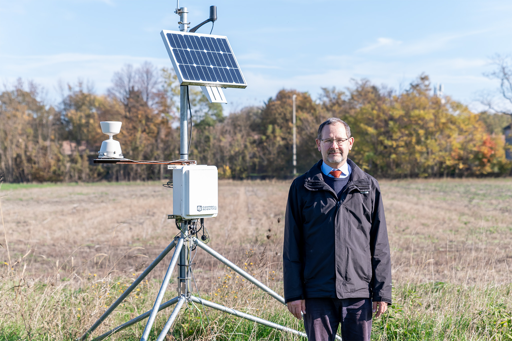
“In a previous university project, we installed numerous sensors to measure soil moisture, soil temperature, and microclimate conditions, which allows us to validate satellite data using our own control data,” explained Dr Attila Kovács, head of Széchenyi University’s Department of Biological Systems and Precision Technology. “To achieve this, we cross-reference satellite images taken in visible, near-infrared, and short-wave infrared wavelengths with data from our sensors.” Dr Kovács also highlighted that defining the exact parameters for the satellite to monitor is a key task for the Albert Kázmér Faculty.
 Dr Attila Kovács, a researcher at Széchenyi István University, with one of the sensors installed by the Albert Kázmér Faculty in Mosonmagyaróvár. (Photo: András Adorján)
“Currently, the satellite is undergoing calibration in its orbit, with the first useful data expected early next year. This is a time-intensive process because we only have a few minutes to communicate with the satellite during each pass over Hungary. Additionally, different soil types and plant groups require tailored algorithms, so each needs to be individually calibrated. Our team continues to refine the system to ensure accurate data transmission, storage, and analysis," Dr Kovács noted, emphasizing the complexity of the research, which involves experts from engineering, IT, agrometeorology, and crop sciences working together to improve the project’s effectiveness.
Sustainability and precision agriculture are primary research focuses for Széchenyi University, allowing it to offer the project the necessary expertise and infrastructure. "This initiative addresses one of today’s most pressing challenges, as climate change increasingly jeopardizes farmland water supply. Extreme weather, prolonged droughts, and intense, sudden rainfall are issues farmers must be prepared for, and with this project’s forecasting capabilities, we aim to help them do so. The satellite imaging technology can even detect plant stress and drying before it’s visible to the naked eye, enabling targeted and timely irrigation,” said Dr Kovács. He concluded by noting that satellite-based monitoring represents an innovation with significant potential benefits for the entire agricultural sector.


